
Dear Brady, I have been watching your science videos for years and years but only discovered Hello Internet quite recently - it was recommended by Destin on No Dumb Questions. (Your description of Card Cricket on NDQ #18 was awesome, by the way!). I was recently on holiday in Tenerife with my family and I spent a lot of time catching up on the back issues of HI. Having returned to the UK I have since finished the lot - and now I feel quite bereft! To help me get over this I wanted to share something of how your podcast helped me overcome a big challenge while in Tenerife. I also thought the context of the challenge might be an interesting topic for future discussion with CGP Grey.
I have had a rather rocky relationship with Google Maps over the past 4 or 5 years, mainly very good, but sometimes less than ideal. Two years ago I planned a morning’s roadbike ride through the hills of the Dordogne using Garmin Connect/Google Maps, making sure that I ticked the “Stay on roads” option. Three hours later, when my journey down a cul-de-sac, onto a narrow footpath through some woods had turned into a steep descent down a mud path littered with tree-roots, I was beginning to wonder whether Google and I share the same definition of the word “road”. With this experience in mind you may wonder why I set out on a morning’s ride in Tenerife having once again used Google Maps to plan and direct my route! And I did this despite a carefully-worded disclaimer to “Use caution–bicycling directions may not always reflect real-world conditions.” As a fragile piece of evidence in my defence I simply refer you to those pale grey lines that Google Maps uses in satellite view to show routes: they gave the ‘road’ a degree of solidity that turned out to be totally unwarranted. Ironically it was my desire to follow a quieter route (so I could listen safely to some more HI podcasts) that led, in a way, to the whole experience.
 |
| I bet the locals get their handbrakes checked regularly! |
My ride began at 8.30 am in Santa Ursula, on the north coast of Tenerife, about 7 miles east of Puerto de la Cruz. The roads around these parts don’t bother zigzagging as they might do in the Alps. They just go straight up. Those who cycle with me know that I’m not afraid of a steep climb or two, but these roads are REALLY steep. The tarmac seemed to be about 15-20% on average, exceeding 25% in places, to the extent that I had to get off and walk – and even found that difficult!
 |
| Looks like a pretty good forest track to me... |
Once I had reached the top of the vineyards (which extended along terraces either side of the road in a very pleasing horizontal fashion) the road entered some attractive woodland and, initially, wound its way gently upwards with a long, gradual sloping zigzag. However, this pleasant alpine-style scenario turned fairly quickly into more tracks that cunningly found the very steepest route possible. At several points the gradient reached an eye-watering 33%, and the road became a combination of large rocks and greasy mud. Not the kind of place you should be dragging a (hired) £2.5k roadbike!


Occasionally Mrs Google-Maps would interrupt the Hello Internet podcast I was listening to with a comment like “in 200 metres turn right”, just to remind me that I was indeed still on the predefined route. After a further hour of steady upwards progress I glanced back down to see our house, a small white speck in the distance, hundreds of metres below. I must be nearly at the top, I thought, but just on queue Mrs Google-Maps interrupted Grey and Brady’s fascinating discussion of the US mid-term elections with the horrifying words “turn right then continue for four kilometres.” Four kilometres?! I had quite thought I was near the top! Glancing at the map I made the alarming discovery that it wasn’t just 4km, it was 4km of the “forget that alpine zigzag nonsense, we’re going straight up” variety.
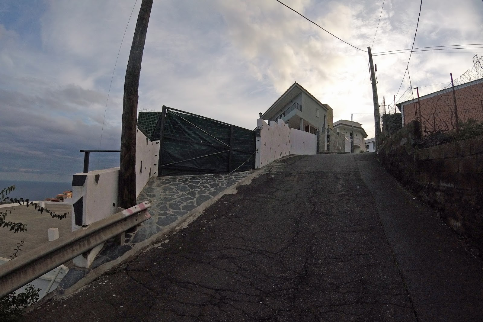
By this point I was in rather a pickle. I was looking with dismay at the distance I had yet to climb just to reach the definitely-tarmac-because-I-checked-on-StreetView TF-24 and glancing back at the path I had ascended, knowing full well that only about 10% of it was ride-able, the rest being something I didn’t even want to walk down! Because it was getting late (I had said I would be back for lunch with the family by 1 pm, latest) I took the decision to continue to the TF-24 and turn left instead of right, thereby cutting out at least another 12 km of road climb to the Teide Observatory. It looked as though I could head downhill to La Esperanza and then cut west on some smaller back-roads, downhill nearly all the way to Santa Ursula, making the most of all the height I had gained, returning just a few minutes late for lunch. Or so I thought.
 |
| One of the flatter bits |
Four hard kilometres later, out of breath, plastered in mud and minus one rubber cleat cover I finally arrived at the TF-24, just shy of the snowline, at an altitude of 1900 metres above sea level. I'm not sure how I would have coped with the slog, had it not been for something VERY different to listen to, to take my mind off the scariness and the slog of the journey. I will never be able to look at my helmet-cam photos of that hillside and forest without thinking of the US mid-term elections!
 |
| Volcanic views |
Out on the road I was surprised to be met by hordes of children and families making their way up the main road (which had been closed to cars), some carrying those shiny things you usually see on windscreens, keeping cars cool while they are parked. It suddenly dawned on me that Mardi Gras meant public holiday, and unexpected snow across the National Park (not just on the summit, as happens most years) meant that every child on the island wanted to grab anything slippery they could sit on so they could go up and experience the stuff they had previously only seen on TV in PyeongChang!
 |
| Now, Google Maps, THAT is a road! The T-24 Carretera de La Esperanza |
 |
| Yes, that is a windsock... and a runway! Welcome to Aeropuerta de Tenerife Norte |
I had overshot my turn by about 5 km (and a considerable altitude drop!) and was about to be ushered onto the TF-5 motorway! I opted instead to make a diversion to McDonald’s, knowing that I could get on their free WiFi and download the map of the (previously unnecessary!) northern sector of the island. Trusting that I was now well clear of mountain-bike territory I set Mrs Google-Maps back into ‘bike’ mode and she steered me along the coast, up and down a series of narrow, sometimes steep, but definitely ride-able roads until I reached La Matanza, where I stopped for a celebratory bottle of full-fat Pepsi and Mrs Google-Maps decided she didn’t like having a phone battery on 5% charge. Fortunately all that was left was 4 km of relatively flat pedalling through a string of small towns along the TF-217, where the biggest obstacles to climb were the enormous speed-bump-zebra-crossings, then a rapid descent under the motorway and back to the house for lunch. Two-thirty is still lunchtime in Spain, right?


No comments:
Post a Comment